english
Atlas of British and Irish Bryophytes (2 volume set)-T.L. Blockheel, S.D.S. Bosanquet, M.O. Hill and C.D. Preston
€110.20 included CZ VAT
€110.20 without VAT
|
Country | % VAT (books) | % VAT | |
|---|---|---|---|
| DEU | 7 | 19 | |
| HUN | 5 | 27 | |
| AUT | 10 | 20 | |
| BEL | 6 | 21 | |
| BGR | 9 | 20 | |
| DNK | 25 | 25 | |
| EST | 9 | 20 | |
| FIN | 10 | 24 | |
| FRA | 5,5 | 20 | |
| HRV | 5 | 25 | |
| IRL | 0 | 23 | |
| ITA | 4 | 22 | |
| CYP | 5 | 19 | |
| LTU | 9 | 21 | |
| LVA | 5 | 21 | |
| LUX | 3 | 16 | |
| MLT | 5 | 18 | |
| NLD | 9 | 21 | |
| POL | 5 | 23 | |
| PRT | 6 | 23 | |
| ROU | 5 | 19 | |
| GRC | 6 | 24 | |
| SVK | 10 | 20 | |
| SVN | 5 | 22 | |
| ESP | 7 | 21 | |
| SWE | 6 |
25 |
The price is valid for Czech customers only. Due to a new regulation of the European Parliament the final price must be calculated according to the country of final destination starting from 1st July 2021. Please take a look at the chart above for valid VAT rate in your country.
https://ec.europa.eu/taxation_customs
Warranty (months) 24
Store in stock
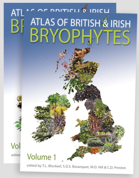
Bryophytes are a species-rich group in Britain and Ireland and one which includes numerous species which are rare in mainland Europe. They are attractive plants and some of them play a major ecological role in the environment.
This two-volume publication replaces the earlier, three-volume Atlas (1991–94), updating it with the results of 20 years' further fieldwork by members of the British Bryological Society. This has resulted in the discovery of 59 new species and increased the number of records on which the maps are based from 770,000 to 2.83 million. The hectad (10 × 10 km square) maps reveal dramatic changes in the distribution of some species since 1990. Each map is accompanied by a detailed text covering habitat, reproductive biology, significant range changes, taxonomic or recording problems and world distribution.
The altitudinal distribution of most species in Britain is illustrated by a novel diagram, and the species accounts are accompanied by numerous habitat photographs. The introductory chapters describe the history of the BBS recording scheme, highlighting the effect of technological changes since 1990, and map environmental factors relevant to the interpretation of the maps. A new analysis of records identifies recent changes in response to drivers such as air pollution, land-use and climate change.
ISBN:978-1-874357-66-7
Size:240 x 170 mm
Pages:1250pp across two volumes
Full colour throughout, species and habitat photos, and maps.
Editors: T.L. Blockheel, S.D.S. Bosanquet, M.O. Hill and C.D. Preston
Hardback